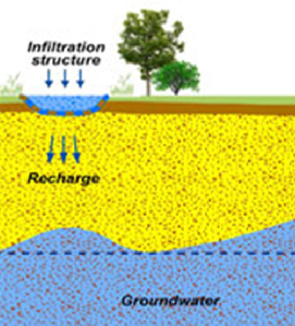
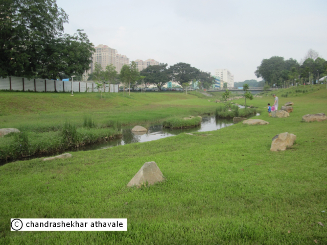
Restoration of natural infiltration to groundwater
Groundwater is the part of infiltrated water which composes the water resource for population and human activities. Previous modifications of the landscape have reduced the infiltration capacity of many European soils, thereby limiting the rate at which precipitation is able to infiltrate and recharge groundwater aquifers. Restoration of natural infiltration to groundwater enables a lowering of run-off from surrounding land, and enhances the condition of groundwater aquifers and water availability. The natural cleaning processes associated with infiltration can improve water quality. This measure can also be known as “Artificial Groundwater Recharge” in the engineering literature.
Mechanisms to restore or enhance natural infiltration capacity include:
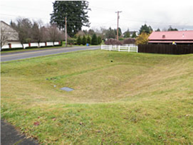
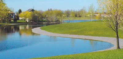
(i) surface structures to facilitate/augment recharge (such as soakaways and infiltration basins);
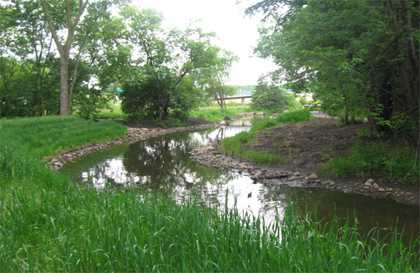
(ii) subsurface indirect recharge – infiltration capacity is enhanced through wells drilled within the unsaturated zone; and
(iii) subsurface direct recharge – infiltration and recharge of the groundwater aquifer is accomplished through wells reaching the saturated zone.

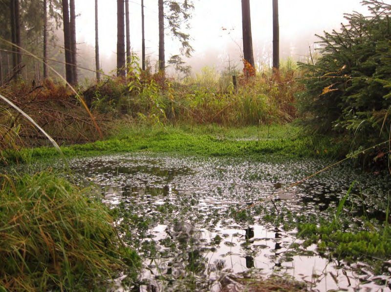
Explicative scheme of enhanced infiltration (UK)
Source: http://www.bgs.ac.uk/research/groundwater/agrar.html
| Benefits | Level |
|---|---|
|
PO5 - Improving quantitative status
|
Medium
|
|
PO8 - Prevent groundwater status deterioration
|
Medium
|
|
PO9 - Take adequate and co-ordinated measures to reduce flood risks
|
Low
|
|
ES1 - Water storage
|
Medium
|
|
ES5 - Climate change adaptation and mitigation
|
Low
|
|
ES6 - Groundwater/aquifer recharge
|
Medium
|
|
ES7 - Flood risk reduction
|
Low
|
|
ES8 - Erosion/sediment control
|
Low
|
|
ES13 - Geological resources
|
High
|
|
BP1 - Store runoff
|
Low
|
|
BP2 - Slow runoff
|
Medium
|
|
BP6 - Increase infiltration and/or groundwater recharge
|
High
|
|
BP7 - Increase soil water retention
|
Medium
|
|
BP9 - Intercept pollution pathways
|
Low
|
|
BP10 - Reduce erosion and/or sediment delivery
|
Low
|


