Hobølelva River: erosion, landslide & eutrophication
Photo gallery
Summary
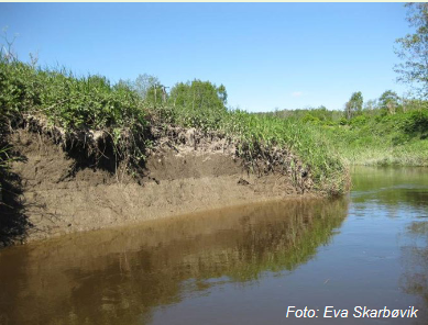
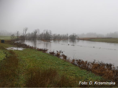
The Kråkstadelva catchment, as case study area, is located within the Hobølelva watershed, located ca. 30km S-SE of Oslo, Norway. The area of the Kråkstadelva catchment is approximately 51 km2. Agricultural land covers ca. 43% of the catchment (22km2) and it is dominated by cereal production. Forest covers ca. 45% of the catchment. Heavy clay soils dominate in the area (up to 80% of clay content). Mean annual temperature is 5.3°C and average annual precipitation is c.a. 864 mm. Floods of varied magnitude occur frequently in the catchment, typically during spring snow melt and autumn rainstorms. The main challenge in the area is water quality (incl. high phosphorus pollution) and soil erosion (incl. riverbank erosion and quick-clay landslides). There is already high focus on environmental mitigation measures, for example reduced tillage (no tillage in autumn), buffer zones, grass-covered water ways, constructed wetlands and the use of catch-crops.
OPTAIN project will support the case study team in identifying new land management strategies, including the best combination and allocation of measures in the catchment as well as implementing new (combinations of) measures, in order to improve water retention in the soil and the landscape and as a result reduce the risk of flooding, and improve water quality downstream.
OPTAIN project will support the case study team in identifying new land management strategies, including the best combination and allocation of measures in the catchment as well as implementing new (combinations of) measures, in order to improve water retention in the soil and the landscape and as a result reduce the risk of flooding, and improve water quality downstream.
