63
Órbigoriver
ecological status improvement
NWRM IMPLEMENTED
•
N3 Floodplain restoration and management
•
N5 Stream bed re-naturalization
•
N9 Removal of dam/longitudinal barriers
•
N10 Natural bank stabilisation
•
N11 Elimination of riverbank protection
•
F1 Forest riparian buffer
C
ontext
The Órbigo River is located in the Duero river basin, in northwestern Spain. The Órbigo River sub-catchment has an area of
1 605 km
2
. The measure has been implemented on a
23.5km long reach
(reach 1). Almost half of the 45ha of floodplain
of reach 1 is covered by broad-leaved forest, mainly irrigated poplar plantation (42% of the area). River banks are occupied
by a
narrow natural riparian
vegetation band (6% of the floodplain area). One third of the area is cultivated (irrigated
cereal crops) and the rest is occupied by moors and heathlands (9%) and urban areas (8%). A quarter of the river reach length
contains longitudinal barriers. The river has a very low gradient, ranging between 0 and 1.82%. For the Órbigo River basin as
a whole, the average slope is 27%. Mean annual rainfall is 535 mm/yr, with only half as much rainfall in summer compared to
winter. The river in this reach has a permanent flow regime, with water quality that is classified as good-very good.
M
anagement
issues
The Municipalities of Cimanes del Tejar, Llamas de la Ribera, Carrizo de la Ribera, Turcia and Santa Marina del Rey located
by the Órbigo River (León province, Castilla y León Region) were suffering from the effects of historic changes to hydromor-
phology (e.g. weirs, channels) and land use patterns in this water body. These have included: loss of lateral and transversal
connectivity
(with the former in particular contributing to flooding), alteration of river
dynamics
(resulting in problems
with erosion and sedimentation), flow alteration and
loss and fragmentation
of riparian forest. Several issues need to be
addressed, including: the hydromorphological impacts of flooding, which have long-term consequences on the ecological and
chemical status of surface water bodies, and potentially on chemical status of groundwater bodies; impacts on infrastructure
(utilities, power generation, transport, storage and communication); soil loss; impacts of floods on biodiversity, flora and fauna;
altered habitats due to morphological and hydrological changes.
© Duero River Basin Authority (CHD,
Confederación Hidrográfica del Duero)
© Duero River Basin Authority (CHD)
Recovered flood prone areas after creating ‘room
for the river’ (flood event in April, 2014)
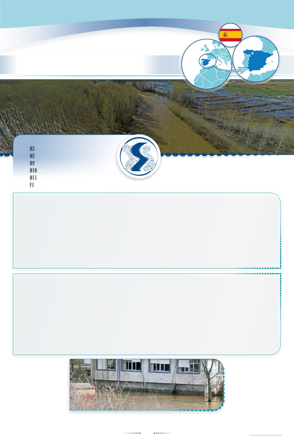
Effects of a flood event in a municipality located by the Órbigo River prior to the implementation
of the restoration project.


