67
© SMIVAL
© SMIVAL
NWRM IMPLEMENTED
•
A02 Buffer strips and hedges
C
ontext
The Lèze river basin is a narrow valley of 350km² and 52km length, located in the Midi-Pyrénées region (Southern France). It
is located in the Pyrenees mountain range, extending from the hills down to the plains, with altitudes ranging between 160
and 700m. 83% of the catchment is covered by
agricultural land
, mostly irrigated cereals covering the plains and part of
the hills. Riparian vegetation and trees are dense, but within the last 28 years, 300km of hedgerows have disappeared, mostly
due to land consolidation. Upstream, the steep slopes make agriculture harder, and copses occupy most of the landscape.
Mean annual rainfall in the catchment reaches 795mm
M
anagement
issues
In 2000, the catchment experienced its
largest andmost destructive flood
since 1875, which damaged hundreds of
houses and impacted economic activities. A long duration rainfall event localized above the catchment and of a huge spatial
extent, combined with soils already saturated with water, played a role in creating the flood. However, the main factor is
considered to have been the state of the landscape and water courses. Indeed, the loss of
hedgerows
has had several
direct consequences on the water cycle: decreased infiltration rate and increased runoff rate, concentration of the runoff
and acceleration of overland flow, an increased risk of soil erosion and more frequent risk of mudslides, and ultimately
higher and faster
peakflow
during flood events. The floods that occurred in 2000 and again in 2007 showed that water
management needs to be planned at the whole-catchment scale.
© SMIVAL
© SMIVAL
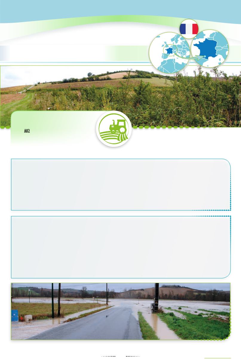
Floods in the Lèze valley
67
Floodbreakinghedgerows
insouthernFrance


